
Trail marking
Hiking in the Vosges mountains
 Trail-marking by the Club Vosgien
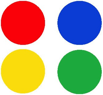
This information enables hikers to find their way in an unknown environment with the help of a map faithfully reproducing routes marked out in situ. The system is based on geometrical signs such as rectangles, diamond shapes, white-striped rectangles, discs, X-crosses, vertical crosses, triangles and rings. The colours used are red, blue, yellow and green.
CAUTION ! The same section of path may have several different signs corresponding to different final destinations, but the routes will divide during the hike. Be carefull and make sure you pinpoint where the path turns off on the map so that you don't miss it during your walk.
Visit the website of the Club Vosgien www.club-vosgien.eu
The Club Vosgien trail-marking signs
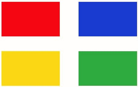 |
RECTANGLE Trails marked with a single-colour rectangle cross the Vosges from North to South and represent major routes. The red rectangle is used to mark GR® 53 - 5. |
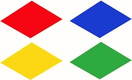 |
DIAMOND Regional and cross-border trails and trails exploring a particular territory are marked with diamonds. Duration : 1 week or more. |
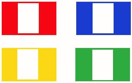 |
WHITE-STRIPED RECTANGLES White-striped rectangles lead you to trails marked with a rectangle or diamond of the same colour. |
 |
DISCS Discs signal circular hikes taking more than half a day, but may also be used for some linear trails. |
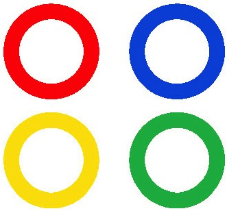 |
RINGS Rings are used for circular routes not exceeding 3 to 4 hours of walking (1/2 day). |
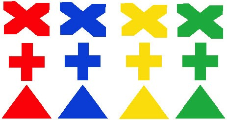 |
X CROSSES - VERTICAL CROSSES - TRIANGLES They are used to mark out linking trails and short local routes. |
 |
 |
 |
|
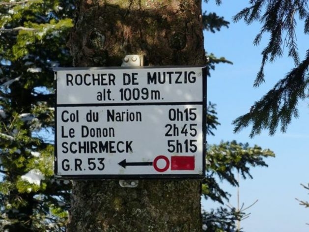
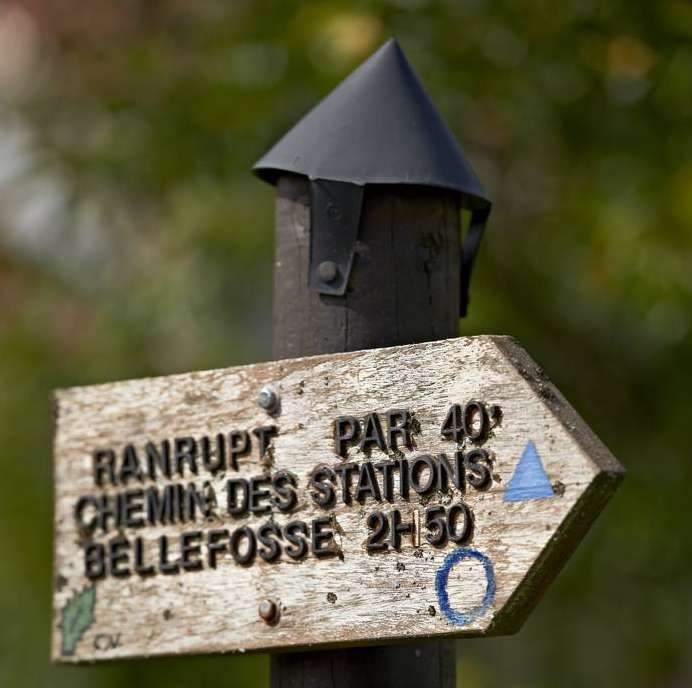
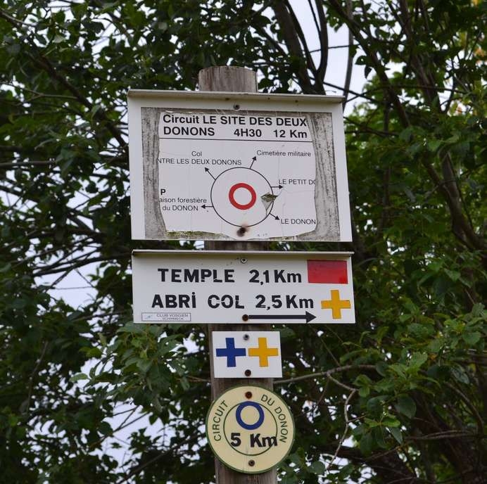
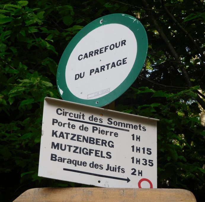
DIRECTIONAL SIGN Like road sings, the purpose of the directional signs is to give hikers information about direction and different stages, giving the walking time in hours. The various places located on the trail are listed from top to bottom. |
TRAIL SIGN Located at the start of a trail, it gives detailed information about the route in symbol form. It gives the name of the trail, how long it lasts (in hours and minutes) and details on places along the way. |
PLACE NAMES These circular signs with a green, 25-mm border indicate the altitude and name of the place hikers are reeached. |


Vallée de la Bruche
L'accueil est dans notre nature
Alsace - Massif des Vosges - France